Hello! How are you? How frequently do you monitor weather updates for the Philippines? Super Typhoon Julian, categorized as a very strong further tropical cyclone today, according to the Philippine Atmospheric Geophysical and Astronomical Services Administration (PAGASA), has exited the Philippine Area of Responsibility (PAR). This is indeed a significant event in the monitoring of extreme weather phenomena in the country.
Yet again, the exit of typhoon Julian brings both reassurance and worry as the storm finally goes out of a threat in the area. But what does this imply for the Philippines, and how do such happenings affect the country?
Let’s dive in!
Table of Contents
The Formation of Super Typhoon Julian
Super Typhoon Julian formed from a low-pressure region located in the western Pacific, and as it transformed into a tropical storm, the destruction caused was even more extreme due to the environmental factors that prevailed; for instance, high sea temperatures coupled with low wind shear.
It turned into a super typhoon with a maximum sustained wind of 185 kph (115 mph) or more; thus, this cyclone was regarded as one of the most potent to have developed in the western Pacific during the current threatened period.
The change in Julian’s intensity over two days is about as clear an illustration as one could find of the short amount of time it can take to develop a weather system in the western Pacific, especially so in the height of the typhoon season.
With the presence of warm ocean waters and suitable atmospheric conditions, it was practically beyond anyone’s doubt that the cyclone would develop quickly into a super-typhoon in a matter of days.
As soon as Julian formed, PAGASA, the Philippine Atmospheric, Geophysical and Astronomical Services Administration, started warning and informing the public about the storm’s effects. Fortunately, whether as a blessing or relief, Julian was still very much away from the land, thus making sure that it wouldn’t head to the Philippines directly.
Julian’s Impact and Exit from PAR
As Super Typhoon Julian continued to gain strength, the dangers it posed to the Philippines further rose. However, the storm settled at a distance that led it away from the islands of the country and, therefore, spared the country from the more far-reaching consequences of its destructive winds and heavy downpours.
Western Pacific, where storms that affect the Philippines and usually develop, are located. While Julian caused heavy downpours in some areas of the country, more so in the northern parts and the Batanes islands, it never made landfall.
This particular instance speaks of the point in time a tropical cyclone leaves the Philippine Area of Responsibility monitored by PAGASA. This includes most parts of the western North Pacific, which is where typhoons that threaten the Philippines are usually created.
There is an area known as the Philippine Area of Responsibility (PAR) which, in the case of storms, means that once a storm has moved outside the boundaries of PAR, the storm is no longer under charge of that country.
Although Julian was designated as a distress threat, the day that the Philippine Atmospheric Geophysical And Astronomical Services Administration (PAGASA) announced Julian’s exit from the coast of the Philippines, the storm SUBSEQUENTLY continued on its way to the open Pacific. After all, this was a welcome development for many, and they prepared for the disaster. Julian prepared aftereffects, especially the local weather system of the region was placed under close watch.
What Happens After a Super Typhoon Exits PAR?
The leaving of a storm from the Philippine Area of Responsibility does not indicate the end of its effects. In most instances, typhoons do not only have a linear impact but also act as troughs, for example, when the southwest monsoon (Habagat) sets in with a lot of rainfall even after the typhoon has passed.
For Julian, in particular, as rains brought by the enhanced rainfall were also anticipated, PAGASA issued a warning of lashed monsoon rains to cover Regions IV-A, IV-B, VI, II, and CAR.
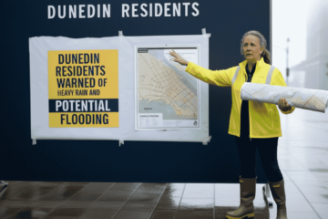
Natural hazards threatening the Philippines include excessive rainfall, flash flooding, and landslides, especially during the monsoon season and when typhoons reside on the eastern side of the country. Furthermore, residents in low-lying regions that easily experience floods are advised to remain alert due to the unpredictable nature of the weather after the cyclone.
In addition to the active southwest monsoon, there were also advisories to the effect that the sea state may still be unfavorable, particularly with the inclement conditions of the sea and along the coast due to the existence of high waves. Due to the warning that the state of the sea around the Philippines would be hostile for several more days after the departure of Julian, warnings were issued to small fishing vessels and fishermen not to go out to fish.
The Role of PAGASA and Early Warnings
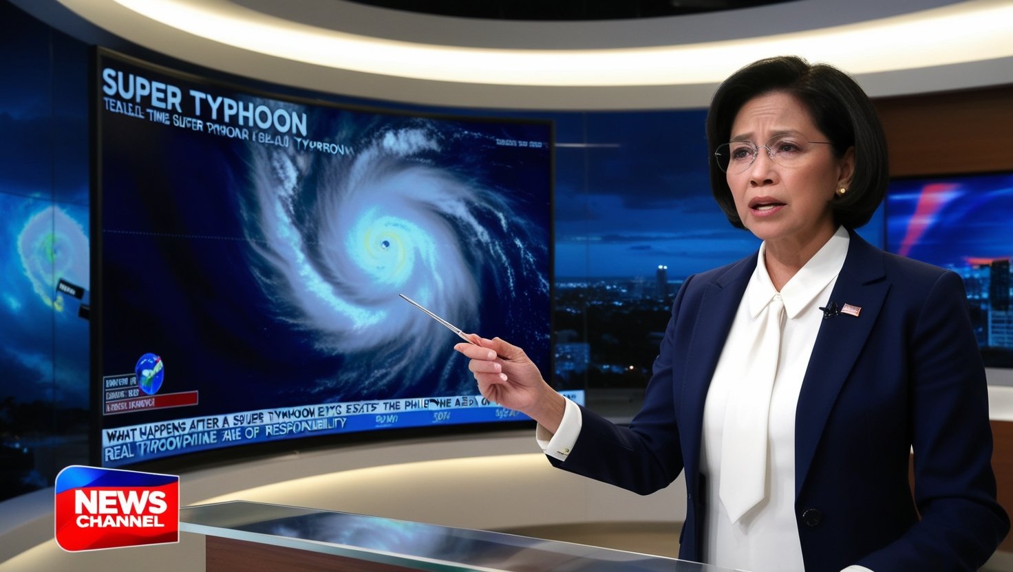
PAGASA’s contribution to tracking and forecasting tropical cyclones is crucial to the security and readiness of the Philippines’ citizens. The agency’s early alerts give the government, local administration, and the populace time to adapt to the circumstances before the storm approaches the land or the country.
Regarding Super Typhoon Julian, for instance, PAGASA’s regular reporting information reduced alarming situations while allowing people to make arrangements for the likely flooding and rough seas.
PAGASA has enhanced its forecasting abilities dramatically over the years, employing high-tech tools such as satellite pictures, radar, and computers to predict how tropical storms will behave. This development has played an important role in curtailing the loss of lives and destruction brought about by different typhoons, considering that the Philippines is an island nation prone to such weather characteristics.
The regular updates by PAGASA also have storm signals, which show the threat level of the predicted tropical cyclone to the public. The signals are effective in making decisions on the posting of school activities, attending to evacuating people, and stopping navigation.
While Julian was in the Philippines area of responsibility, the highest storm signal was hoisted in some parts where there was expected rainfall and strong winds. Still, the storm changed its path and did not cause any serious destruction.
The Philippines and Its Vulnerability to Typhoons
It is often said that the Philippines is one of the countries most exposed to and affected by typhoons. In fact, about 20 tropical cyclones entering the Philippines’ Area of Responsibility (PAR) are projected on average every year. Out of these, three to four usually make landfall and are destructive. Moreover, the country lies within the typhoon-generating zone.
Thus, the residents experience these weather aberrations, especially during the typhoon season that runs from June to November.
Typhoons are accompanied by dangers such as high-speed winds, excessive rainfall, storm surges, and temporary rises in river levels, as well as normal flooding. These aspects are of more concern in coastal areas, especially the eastern coastline that faces the open Pacific Ocean.
The people of the Philippines have suffered many typhoons over the years and now claim the record of having suffered more than one of the recent notable Storms; this long record has, however, not been without loss, and the latest noteworthy was in 2013 when Typhoon Kai Tak (Yolanda) hit.
In this regard, Taiwan has evolved and established locally a full system of measures for preparedness and disaster risk reduction. In particular, the government and local authorities, with the help of civil society and donors, have undertaken activities to improve the early warning systems, i.e., EVA, evacuation coping strategies, and disaster risk management of the nation.
While these laudable objectives are yet to be realized within the strategy’s time frame, save for climate changes causing storms to hyperventilate and even alter the logical order of events, these storms are new and more hazardous.
Climate Change and the Increasing Intensity of Typhoons
Climate change apprehensions and challenges regarding variations and patterns of tropical cyclones in the Pacific zone have only recently emerged.It has been noted that warmer sea surface temperatures which had a significant relation in the development of typhoons, are leading to more destructive storms. Scientists have informed us that the occurrence of Julian-like super typhoons will no longer be a surprise in the years to come as they project global warming.
On the other hand, the Philippines is one of the countries that is most prone to the impacts of climate change due to the geographical compromises it has to face such as the increase in sea levels and extreme weather conditions.
Near the coast, the problem extends to increased cyclone activity, which raises storm surges that lead to flooding and coastal erosion. Likewise, changing climatic conditions can cause typhoon seasons to be less predictable and more violent and prolonged in the case of so-called dry months.
Climatic changes have effects that impact communities, countries, and the entire world; therefore, they are being addressed at national and international levels. The Philippines has also focused on global climate change policy implementation and decided to limit the scope of carbon dioxide emissions by signing the Paris Agreement.
However, climate-related disasters are immediate in effect to the country and therefore, disaster preparedness and adaptation of the people remains to be of utmost importance.
Conclusion
Super Typhoon Julian has left the Philippine Area of Responsibility, but with this exit comes the warning that a new threat may not be far off. Typhoon season is not over yet, so slackening off is not an option. Likewise, with the tropical systems being tracked and storms already forming in the eastern Pacific, the Philippines cannot afford to let its guard down and must be ever ready. Have you taken measures to prepare yourself for the rest of the typhoon season?
The advancement in technology has made weather forecasting much easier, which in turn has affected climate change policies and their implementation. Thus, more and more people are inquiring how to prepare for an approaching cyclone. In this way, Filipinos can better equip themselves against casual demographics.
FAQ
1. What does it mean when a typhoon exits the Philippine Area of Responsibility?
Such an event, or in other words, when such a cyclone leaves the active monitoring area termed as PAR, the cyclone is reported to have crossed the PGMA’s zone of operations. It is regarded as posing a lesser threat to the Philippines.
2. How strong was Super Typhoon Julian?
The cyclone then attained the super typhoon classification, as its maximum sustained winds reached above 185 km/h (115 mph).
3. Did Super Typhoon Julian hit the Philippines?
No, Julian didn’t hit ground in the Philippines but its extreme weather conditions triggered heavy rainfall and intensified the monsoon in certain regions.
4. What could I do to get ready for typhoons that are going to strike again in the future?
Go through your disaster preparedness plan, buy necessary emergency goods, and follow any such instructions provided by PAGASA.
5. How do typhoons react to climate change?
Rising temperatures due to climate change contribute to a warmer sea surface, which in turn means stronger and more typhoons form.